You are not permitted to copy, sub-license, distribute or sell any of this data to third parties in any form.
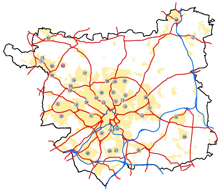
The following map, except for the spatial boundary of 14 (Map 10: Hunslet Town Centre) has been superseded by the Site Allocations Plan (as amended 2024). For further explanation of the policies relating to town and local centres, see the Site Allocations Plan Section 2.
For a fuller explanation of the policies and proposals you can also download copies of the:
- UDP volume one: written statement (PDF 3.1MB)
-
Volume two (Appendices) of the UDP Review 2006 (PDF 1MB)
- Natural Resources and Waste Local Plan

© Crown Copyright and database right 2018 Ordnance Survey LA100019567